Thinking about a move to West St. Paul and not sure where to start? You are not alone. When you are relocating, it helps to understand how the city is laid out, where the daily conveniences are, and what tradeoffs to expect by block and corridor. This guide gives you a clear orientation to 55118, so you can zero in on the right micro-area, evaluate homes with confidence, and map out your first month with ease. Let’s dive in.
How West St. Paul is organized
West St. Paul does not rely on formal neighborhood names in daily life. Instead, you will navigate by major corridors, proximity to shopping and parks, school boundaries, and the Mississippi River edge. Robert Street is the primary commercial spine, with most chain retail, groceries, and restaurants clustered along it. Residential blocks branch out on traditional grids and quieter side streets.
Edges matter here. Parts of 55118 sit near St. Paul, South St. Paul, Mendota Heights, and Inver Grove Heights. These borders shape your services, commute choices, and how the area feels on the ground. As you narrow your search, compare homes by street pattern, lot size, and how close they sit to commercial activity.
Key micro-areas to explore
Robert Street corridor hubs
- What it is: The main shopping and dining strip with larger retailers, groceries, and services. You will find townhomes and multifamily buildings mixed near commercial uses, with single-family streets a few blocks off the corridor.
- Housing feel: A mix of mid-century homes, some newer infill, and multifamily clusters. Lots tend to be moderate, with more driveways and off-street parking.
- Who it fits: Buyers who value quick errands, frequent dining out, and easy transit access.
- Tradeoffs: Higher traffic, more activity, and typical commercial noise. Check setback, buffering, and any screening between homes and businesses.
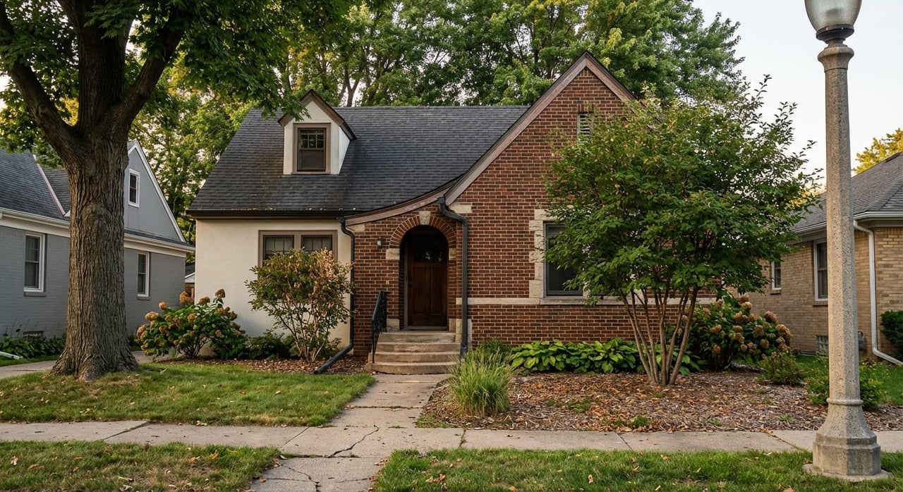
Established single-family blocks
- What it is: Early to mid-20th century streets on a walkable grid. You will see bungalows, cottages, and ranches with front porches and mature trees.
- Housing feel: Character homes on modest lots, with garages ranging from older one-stalls to newer builds. Expect a range of updates and some original features.
- Who it fits: First-time buyers, move-up buyers seeking charm, and anyone who likes a classic neighborhood texture.
- Tradeoffs: Older systems may need upgrades, from electrical to insulation and roofs. Budget for inspection findings and energy improvements.
Infill and renovation pockets
- What it is: Scattered spots where older homes have been refreshed, expanded, or replaced. You may also find selective new construction on existing lots.
- Housing feel: Updated kitchens and baths, finished basements, and additions. Some modern exterior styles mixed with traditional homes.
- Who it fits: Buyers who prefer move-in ready spaces, updated layouts, or lower near-term maintenance.
- Tradeoffs: Newer build premiums, potential style contrast with neighboring homes, and local permitting or setback considerations.
Multifamily clusters
- What it is: Garden-style apartments, mid-rise buildings, and small condo communities, often near major roads or transit.
- Housing feel: Low-maintenance living with on-site parking and amenities that vary by property.
- Who it fits: Renters, downsizers, and investors targeting stable rental demand.
- Tradeoffs: HOA rules or shared walls for condos, plus varying pet, parking, and rental policies.
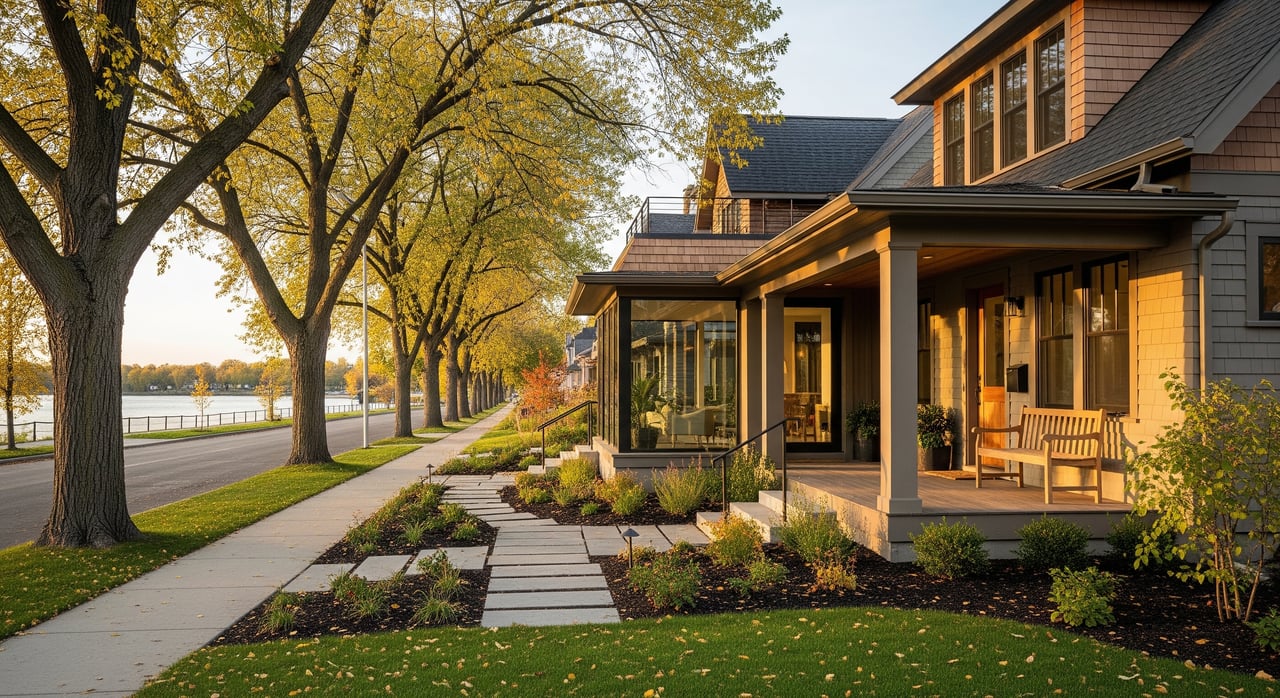
City edges and adjacent municipalities
- What it is: Streets that border St. Paul, South St. Paul, Mendota Heights, or Inver Grove Heights. These areas can feel distinct based on road access, green buffers, or school boundaries.
- Housing feel: A mix of single-family and townhouse options, with some curvilinear streets and larger lots.
- Who it fits: Buyers weighing commute routing and a quieter setting near regional parks or river-adjacent areas.
- Tradeoffs: Check floodplain maps near river corridors, and verify services, taxes, and school assignments by specific address.
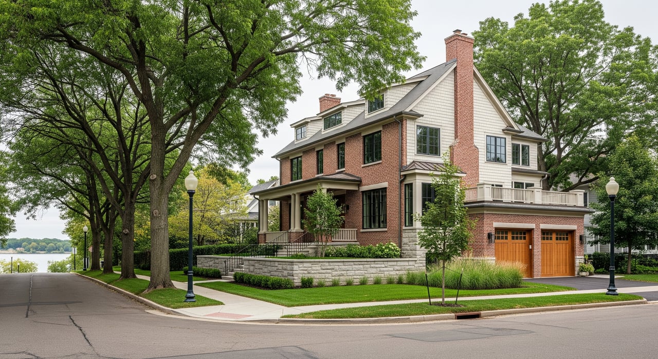
Housing types and what to expect
- Single-family homes: Bungalows, cottages, and ranches are common. Many sit on manageable lots, and garages vary. Plan for age-related updates, from HVAC to windows and insulation.
- Townhomes and small condos: Often located near major corridors, these offer lower-maintenance living. Confirm HOA fees, budgets, and rules, especially if you plan to rent in the future.
- Apartments: Garden-style and mid-rise buildings support a strong rental market. If you are an investor, review local short-term rental policies and check typical lease structures.
- New construction or heavy remodels: Infill homes and large additions appear in select pockets. These deliver modern layouts but come with price premiums and potential style contrast with surrounding homes.
When you compare options, weigh expansion potential, garage and parking needs, and whether the lot or zoning supports future changes. If you are eyeing river-adjacent areas, consult floodplain resources and plan for proper insurance if needed.
Reading the market without guesswork
Local conditions shift by season and street. A smart approach is to track a few key signals for 55118:
- Median sale price and price per square foot trends
- Months of supply and the number of active listings
- Average days on market and sale-to-list price ratio
- Twelve and thirty-six month price changes
These metrics help you understand pace and competitiveness. Pair them with recent comparable sales on your target blocks. If you want a data-backed snapshot for a short list of addresses, connect for a custom market read with on-the-ground context.
Getting around and commute basics
Driving access and typical routes
Robert Street and nearby county roads connect you to St. Paul, Minneapolis, and Dakota County job centers. Interstates and highways are close by, but travel times vary by time of day and weather. In winter, allow extra time and learn local snow-emergency rules for parking and plowing.
Transit options and park-and-ride
Metro Transit bus routes serve the Robert Street corridor and connect to regional hubs. Check schedules for frequency and transfer points that align with your work hours. Park-and-ride lots can simplify regional commutes if you prefer to avoid downtown parking.
Walking and biking basics
Walkability depends on your micro-area. Streets near the commercial spine are convenient for errands, while quieter residential grids favor neighborhood walks. Sidewalk coverage and bike infrastructure vary, so review local maps before committing to a daily walking or biking routine.
Parks, services and daily life
Parks and recreation highlights
Expect a mix of neighborhood playgrounds, community parks with sports fields, and access to regional trails. Many parks offer picnic shelters, ballfields, walking paths, and winter activities such as outdoor skating. If time outside is a priority, map your short list of homes against parks and trailheads within a 10 to 15 minute walk or drive.
Schools and childcare overview
School assignment can vary within 55118 based on district boundaries and attendance zones. Always verify a specific address with district maps before you make decisions. For families, explore pre-K and childcare options early, since some programs have waitlists. Review school report cards and compare commute times from home to school.
Healthcare and essential services
You will find primary care clinics, pharmacies, and urgent care options within short drives of most micro-areas. Grocery and everyday shopping are concentrated along Robert Street and nearby nodes. As you plan your move, collect utility provider contacts for water, sewer, trash and recycling, electricity, gas, and internet, then schedule transfers before closing.
How to evaluate 55118 remotely
Step-by-step remote workflow
Map and imagery review. Scan satellite and street view to understand lot sizes, exterior condition, and buffers between homes and commercial uses.
Inventory and comps. Review recent sales on similar streets to gauge pricing, updates, and days on market. Compare active listings to test current seller expectations.
Commute check. Run drive-time tests for peak and off-peak hours to your top destinations. Layer in transit schedules if you might ride the bus.
Schools and safety resources. Enter the property address into district attendance tools and read public school report pages. Review official crime maps with care and consider context and reporting limits.
Amenities and quality of life. Note distances to groceries, clinics, parks, and daily services. Read a sample of recent reviews for essential spots you will use weekly.
Environmental and regulatory checks. Look up zoning, floodplain overlays, and airport noise or industrial buffers if relevant. Confirm any permit or setback issues before planning renovations.
Tools to use
- County parcel and assessor site for lots, year built, and assessed data
- Satellite and street view for curb appeal and block-scale context
- Transit trip planner for routes and transfer times
- Walkability tools for errand convenience
- FEMA or county flood maps for risk awareness
- School district boundary maps and state report cards
- Official police or third-party crime maps with limitations noted
- MLS or market snapshots for active and sold listings
Newcomer checklist for your first 30 days
Before you move
- Confirm purchase contingencies, inspection timelines, appraisal, and financing.
- Request recent utility bills to estimate monthly costs, especially if buying remotely.
- Line up movers, closing details, and insurance coverage start dates.
Move-in week
- Transfer utilities, set up trash and recycling service, and schedule internet installation.
- Register vehicles and update your driver license per state rules.
- Enroll children in school, confirm documents, and arrange transportation.
- Update voter registration and submit a change of address with USPS.
- Sign up for city and county emergency alerts and snow notifications.
Home readiness
- Find the main water and gas shutoffs, circuit breaker, and meter access.
- Schedule HVAC service, check filters, and assess insulation for winter.
- Plan snow removal for driveway and sidewalks, and confirm local rules.
Settle into the community
- Get a library card and review recycling guidelines and pickup calendars.
- Save contact info for nearby clinics, urgent care, pharmacies, and your preferred grocery.
- Introduce yourself to neighbors and note any block or neighborhood groups.
Tradeoffs to consider in 55118
- Corridor convenience vs. quiet streets. Homes near Robert Street offer fast errands and transit, with more traffic and activity. A few blocks farther can feel calmer.
- Character vs. updates. Older homes bring charm, but many need electrical, insulation, or roof work. Modernized homes trade higher prices for fewer near-term projects.
- Parking and garages. Verify garage size and off-street parking, plus any winter parking rules for snow events.
- River proximity. Scenic areas may overlap with floodplain boundaries. Review maps and insurance requirements early.
Ready for a local game plan?
If you want a tailored, no-pressure roadmap, set up a quick consult. You will get a live map walkthrough of 55118 micro-areas, custom saved searches by block, a comparative market snapshot for target streets, and a relocation packet with utility contacts and school enrollment steps. Virtual neighborhood tours and coordinated inspections are available for long-distance buyers. To start your personalized plan, reach out to Julie Doolittle.
FAQs
What should I know about West St. Paul micro-areas in 55118?
- Focus on corridor hubs, established single-family blocks, infill pockets, multifamily clusters, and edges near neighboring cities, then weigh convenience versus quiet.
How can I compare 55118 home prices without local access?
- Track median price, days on market, and sale-to-list ratio for your micro-area, then review recent comps on the same or nearby streets for context.
Is transit a realistic option in West St. Paul?
- Bus routes serve the Robert Street corridor with connections to regional hubs; check schedules and transfer points that fit your commute hours.
What housing styles are most common in West St. Paul?
- You will see bungalows, cottages, and ranches on modest lots, plus townhomes, small condos, and select infill or heavily remodeled homes.
How do I verify school assignments for a 55118 address?
- Use the relevant school district’s boundary and attendance tools for the exact address, and review current report cards for neutral, factual information.
What are typical tradeoffs near Robert Street in 55118?
- You gain fast access to groceries, dining, and services, but should expect higher traffic, more activity, and commercial noise closer to the corridor.
How do I check for flood risk near river-adjacent areas?
- Review FEMA and county floodplain maps for the property address and confirm insurance needs and any building constraints before you make plans.